John Muir Trail Adventure Journal: Day 11
Woods Creek Canyon to Center Basin
Approximately 18.6 miles. Cumulative: 181 miles.
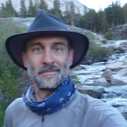
So something was sniffing around my tent at one point last night. I don’t think it was a bear, but it was close. Close enough to wake me up.
This seems like a good time to mention that I really wanted to see a bear. From a distance, of course, but it never happened. Not that they weren’t out there, they just didn’t feel the need to bother me, which is fine. But I would have liked to see one.
But back to the day at hand. I broke camp and started hiking at 6:30 a.m.
Then I sprained my ankle at 8:30 a.m.
I was coming down the trail and took a step off a rather large boulder. I wasn’t paying attention to just how large it was (instead, I was admiring the views. I mean, how could you not?), and, on that last step, felt — and heard — a pop from my ankle.
I said a few bad words and sat there for a moment. Another hiker saw the whole thing and walked right by me (thanks, pal). Not that he could have done much, but a “Bummer, dude,” would have been welcomed. Humans like to have company in, or at least acknowledgement of, their misery.
I’d sprained an ankle before and knew (well, hoped) I’d be able to walk it off, but it sure wouldn’t be a pleasant day. I didn’t have much of a choice, so I kept on. The going was a little slower (which annoyed me), and initially a little painful, but after a little while, I could walk on it with minimal discomfort. I didn’t want to stop and look at it, though.
I sort of forgot about it, though, when I came to the wood-and-steel-cable bridge over Woods Creek, the so-called “Golden Gate of the Sierras.”
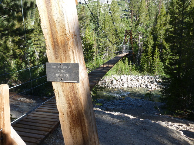
As the sign says, one person at a time, please. There’s just something neat about walking on a bouncy suspension bridge. The kid in me couldn’t resist the urge to bounce just a little.
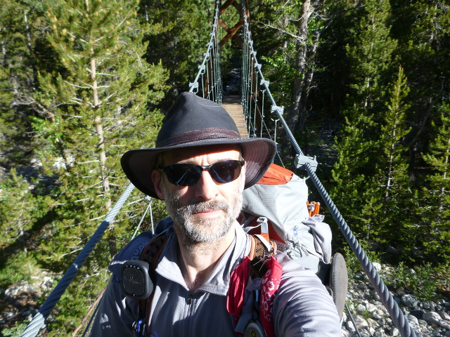
A lot of people were camped out on the other side of the bridge. There were many young folks, which made me happy. I always like to see kids enjoying nature, especially here.
I had about nine miles to go to Glen Pass, which I had very little information about. Unlike the other passes, all of which had been given some level of trail notoriety by north-bound hikers, no one had said anything about Glen Pass.
The trail from the bridge was a steady climb up to the Rae Lakes. I was moving slower than I wanted to, but the scenery, as always was beautiful. I found the trees, especially the foxtail pines, to be quite remarkable.
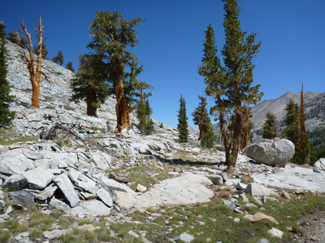
The trail leveled off right as I entered the Rae Lakes Basin. The Fin Dome, on my right, rose high above the lakes. It was one of my favorite rock formations of the whole trip.
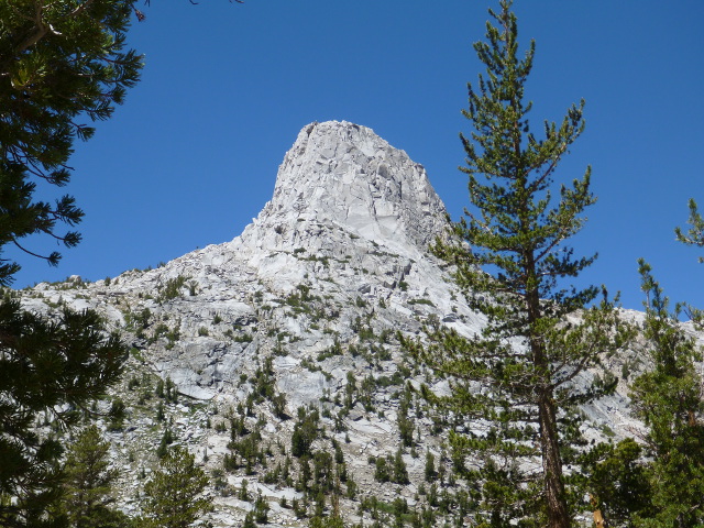
Rae Lakes was gorgeous, snatching second-favorite lake status from Pinnacle Lakes. I think I liked Rae lakes slightly better. Nothing can top Evolution Lake for me, though.
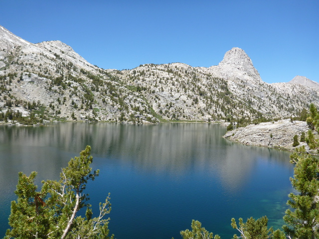
After walking along Rae Lakes, past the Rae Lakes Ranger Station, I saw the The Painted lady and Dragon Peak, two more fantastic peaks that would be my near-constant companions as I climbed up to Glen Pass.
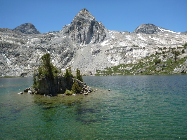
After crossing a stream that flowed out of the Rae Lakes, I stopped for a bit to rest and east some lunch. I wasn’t looking forward to the climb on my ankle at all, but there was no one to carry me, so off I went. I had about 1,500 feet of climb ahead of me in less than two miles. The elevation profile looked daunting. It was slow going.
About an hour into the climb, two kids, about 9 and 11, came tearing down the path. It made me think of my kids and how much I missed them. A few minutes later, a single hiker ambled down the trail, the father of the two boys who’d ran past me. They were finishing a four-day Father’s Day hike, which sounded pretty cool.
He asked where I was going. I told him. He asked if I knew where the pass was. I told him not exactly, but it was up there somewhere. I pointed to the ridge way up ahead and high above us.
He nodded. Yeah, see than snow field? Yep. That dark line across it, that’s footprints in the snow that lead right up to the pass.
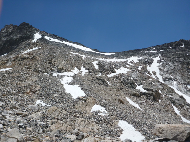
I thanked him and limped on up the trail. It was going to be a long afternoon. The book said that this is where mountain bighorn sheep came to play, so I didn’t mind having to rest frequently on the way up. As I sat on these breaks, regaining what little energy I could, I’d scan the rocks for signs of movement, but I never saw any bighorn sheep. I did see a number of those small, deep blue alpine lakes I liked so much, though.
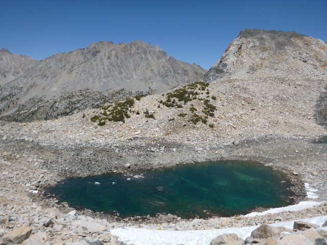
As I climbed, I could see two hikers way above me on the ridge. They seemed to be walking back and forth, acting lost or confused. I continued to climb.
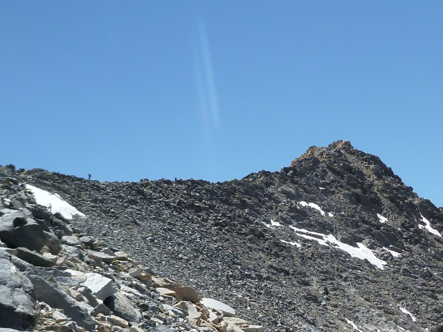
As I got within shouting range, one of them shouted down to me, “Is this the trail?”
Numerous deep footprints marked the narrow snowfield. It looked pretty obvious to me where the trail was, but maybe it was harder to see from above. So I said, “Yeah, you’ll pick it up again right around this corner.” I pointed behind me where the trail disappeared among the scree.
Everyone warned me about Mather Pass. And Mather had been an arduous climb. But no one ever talked about Glen Pass. I found Glen Pass to be a bit more harrowing, It might have been a bit easier earlier in the day when it was cooler, but the sun was high and the snow was soft. I postholed my way up. I’ve never been much a a guy for gaiters, even when trail running, but cold ice down the shoe made me see the value in them.
The hikers on the ridge glissaded down the slope after I’d climbed up, then it was over the pass. I saw that as steeply as it ascended, so did it descend, and I limped down the other side. Going downhill hurt my ankle more, so I picked my way carefully.
As I got to the bottom of the slope, I walked past two rangers filtering water. Or at least I assumed they were rangers. They had on that green uniform with patches and wore thick beards — but by now, most of the men had beards. They were younger guys, had seemed to gather a collection of young admirers. From where I stood, it looked like a bunch of ranger groupies or something hanging out with them. It was kind of odd.
I limped along for another few miles, past Charlotte Lake, and decided it was time to look at the ankle. So I stopped at the Kearsarge Pass junction and took off my shoe. It was swollen all right. I pulled out the first aid kit (always carry one, even on day hikes!) and wrapped my ankle with an elastic bandage. That would have to do. I had lunch and got back to it.
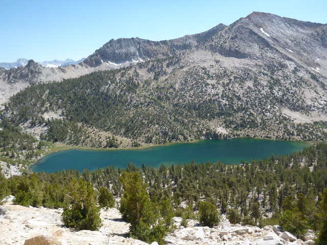
My secured ankle felt better, but it still hurt to go downhill. So, of course, the trail here was downhill for the next two miles or so, only to start a steady climb back up to Vidette Meadow, where there’s a famous bear box. I was thinking of camping there, but it was still plenty light out when I got there, so I kept going. I made it to Center Creek Basin about the same time as a pair of north-bound hikers. The site was plenty big, so we agreed to share it.
Turns out they were a husband and wife from La Crescenta, California, which is a section of Los Angeles not too far from me. He was a chemist and she was a lawyer who had quit their jobs to hike the PCT together, which was pretty cool. Living the dream and all that.
They were great campsite companions. I learned a lot in the short time we talked. They preferred the Sierras to the Anza-Borrego section of the PCT, where they each had to carry at least three liters of water (more than six and a half pounds) to make it through some stretches.
They also cooked hot food at lunch and ate cold food at dinner. This made a lot of sense to me, for a number of reasons. I was often racing to clean up the dishes before bed and always slightly worried about lingering food scent on my clothing from cooking. Plus, at lunch, normally the hottest part of the say, taking the extra time to cook in a nice shaded area sounded appealing. I’m going to adopt this practice in future hikes and see how it goes.
I told them about the large number of north-bound PCT hikers I’d seen in the past few days. They told me the last “trail magic” days at Vidette Meadow ended a few days ago, which would explain that. I had to wonder how magic this trail magic was if it was planned.
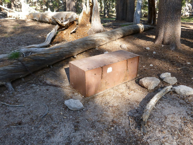
We talked for a bit longer, then retired for the night. I was about four and a half miles from Forester Pass, the last of the passes (and the tallest at 13,100 feet) on the John Muir Trail. It would be a good feeling to clear it. My ankle throbbed, and I was looking forward to bringing this adventure, as grand as it was, to an end.
